Just a recap… we anchored in Atlantic Highlands NJ to rest and do some laundry. We left Atlantic Highlands around 11pm, headed a few miles back north around Sandy Hook and then south into the Atlantic Ocean, headed for Atlantic City NJ. We had to arrive in Atlantic City around high tide in order to get into a specific anchorage called Rum Point. Everything went fine; we gritted our teeth and made the turn into the channel. The channel into the anchorage is only wide enough for one boat, at times there is only a few feet of water on either side of the boat. Once the channel opened up a bit, nearer to the lagoon, the chart showed 26 feet of water to starboard so I thought “heck I’ll just go that way”! Who wouldn’t want 26 feet of water under their boat? Well just about the time we hit the “26” on the chart, a fellow boater in the anchorage came over the radio: “sailboat entering rum point Atlantic City, turn to starboard now, you’re going the wrong way”, awesome. Just as the radio went silent we ground to a halt, 0.0 on the depth. Can I get another “awesome”? With a 26 on the chart I was too busy looking out at the nav aids to watch the depth finder in front of me. I have a green to port (left) a red to starboard (right), and a 26 on the chart, how does that equal “wrong way”? Every day is a new lesson, a new adventure. What was the lesson? Local knowledge trumps nav aids and charts. Long story short, we were just creeping in anyway, barely over a knot and the bottom was black mud. We were able to rock ourselves back a few feet, cut the wheel hard to starboard and gun it. The boat whipped around hard and slipped back into deeper water. We entered the lagoon, dropped anchor and relaxed. Our exit the next day was uneventful. My only real concern is using the bottom of the boat to find a channel once we reach the land of sand, rocks, and coral, which could get very expensive.
Our trip to Cape May was uneventful, light north winds, VERY cold, light rain, dreary. We entered the anchorage right on time and dropped the hook in 13 feet of water with lots of swing room. It is another dreary day with north winds 15-20 knots. We are going to grab some fuel and wait for favorable wind and tide to make our way up the Delaware River and through the C&D canal.
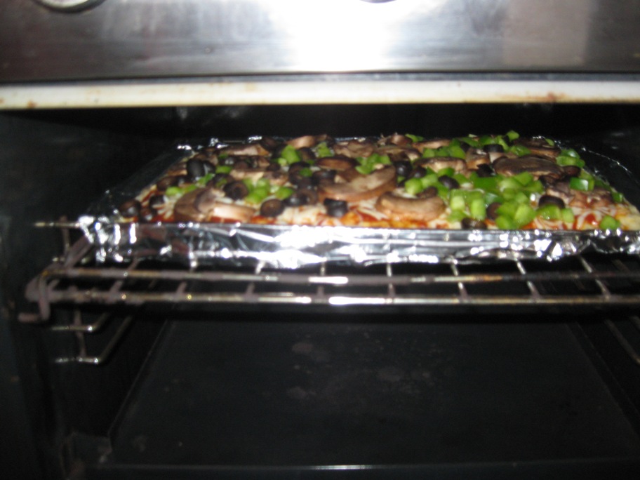
We made an awesome pizza the other night. Baby Bellas, black olives, green pepper:
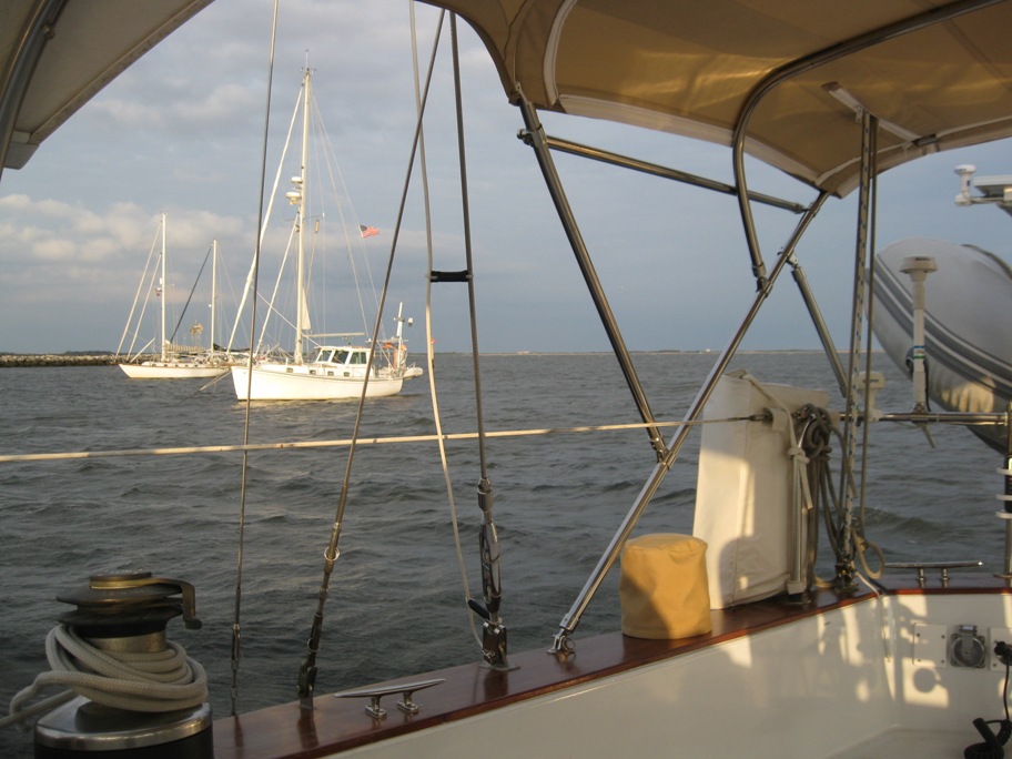
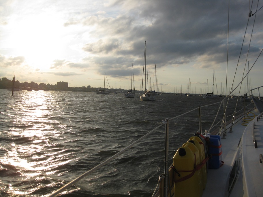
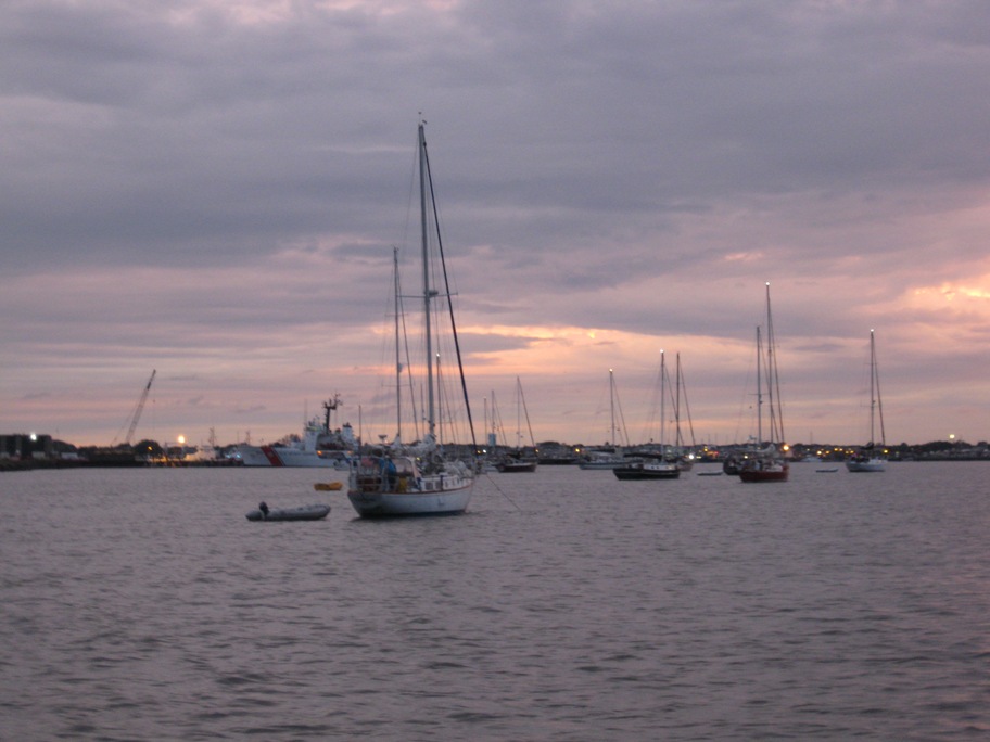
Anchorage behind the breakwater, Atlantic Highlands. The boat next to us is from South Portland, very nice guy.
A couple is terrible shots of NYC and the Verrazano Narrows Bridge while rounding Sandy Hook in the night:
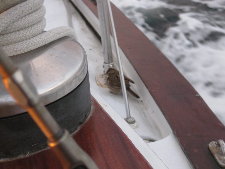
Another visitor catching a ride:
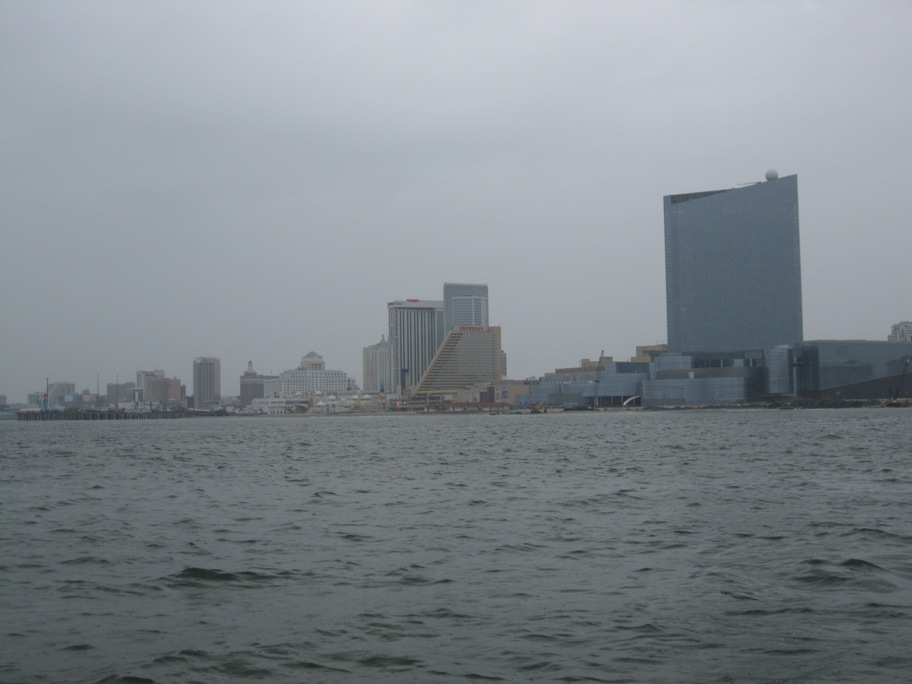
Atlantic City:
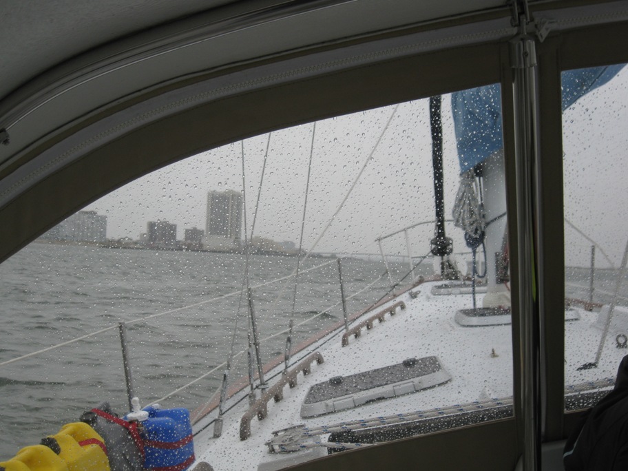
Entering the inlet, rainy, dreary, cold. Some folks have asked us to bring some of this cooler weather south to Florida. We’ve boxed up a bunch of it and will gladly hand it over when we get there!
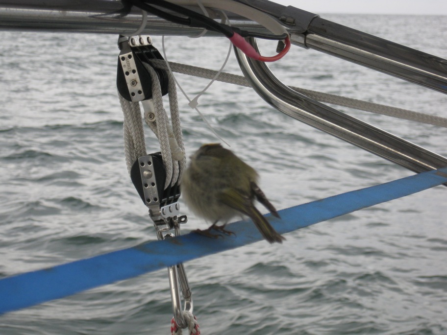
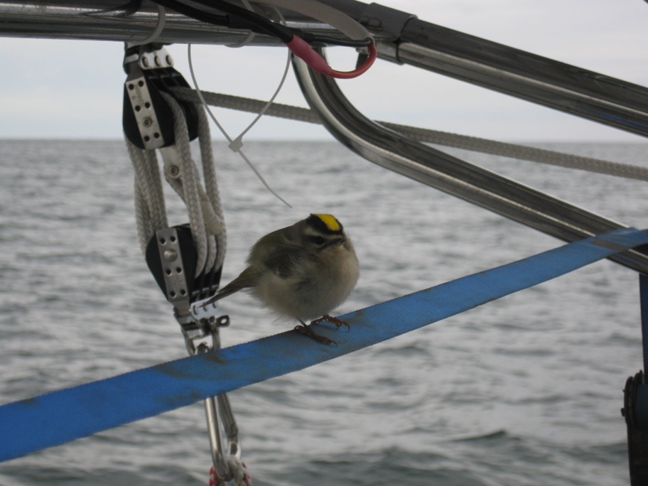
Another visitor on the trip from AC to Cape May. I call him “average” little bird or ball with legs:
…but when he turned around, whoa, “super cool” little bird with a yellow stripe on his head!
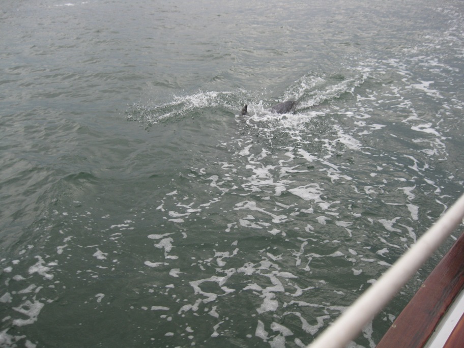
Once we entered the Cape May inlet we were surrounded by dolphins, some jumping out of the water just a few feet from the boat. As they jumped out of the water right next to the boat, it looked like they were trying to see what was going on in our cockpit, it was absolutely amazing. So we pulled out the camera, hit the on-button and “change batteries”, it shut off. Tanya ran below, changed the batteries and was able to grab a couple of shots before they took off. In the next shot you can see the dorsal fin and back of a dolphin as he crested the surface just a few feet from the boat:
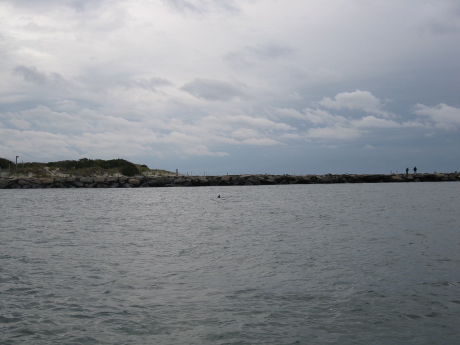
One lone dolphin in the distance:
Anchorage in Cape May:
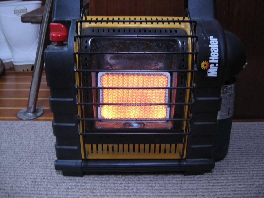
Our little heater keeps the boat toasty. It has been so cold, without this heater I think I would have hauled out and flew back to our home in Florida! Not going to stay so late this far north next year!
Looks like the sun is trying to squeeze through the clouds so we are going to grab some fuel and plan our next leg. Forecast for tomorrow is favorable winds heading up the Delaware River, now we have to time the current in the canal. We will update as soon as we find another wifi signal.

